top of page
Goal of the Mission

Root zone soil moisture (RZSM) and snow water equivalent (SWE) play critical roles in the hyrdrologic cycle, impacting agricultural food production, water management, and weather phenomena. A better understanding of RZSM could enable a breakthrough in estimating key unobserved hyrdrologic fluxes and reduce uncertainty in net ecosystem exchange (NEE), carbon balance, discharge estimates, and crop yield forecasts. With the high albedo and insulating properties of snow, monitoring SWE accumulation provides key information for climate modeling and streamflow forecasting. Despite these contributions, accurate global RZSM and SWE measurements are unattainable with current technology.
My Role in the Team

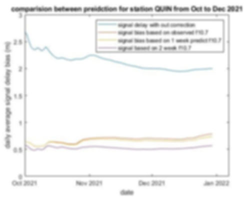
Any signal penetrating through the earth's atmosphere will experience delay caused by the earth's ionosphere. GPS uses Klobuchar's method for the correction and Galileo uses NeQuick G model for the correction. I am applying both methods to the NASA SNOOPI project and comparing the two methods.
SOIL MOISTURE SENSING USING SIGNAL OF OPPORTUNITY

Using the existing broadcasting satellite signal, we are able to capture the directed and reflected signal from the ground. The reflected signal from the earth's surface will have some property change. By comparing the directed and reflected signal, information about the surface such as soil moisture can be retrieved.
bottom of page

